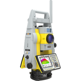
 GeoMax Zoom:
There are no support files specifically for the GeoMax range of survey instruments, but it is important to note that not all XPad software suites are able to export radial (angle and distance) data files.
All XPad suites will export DXF and coordinates, but the XPad Construction Suite won't export radial data. If you would like to take advantage of the full quality assurance capabilities of LSS then you will need the 'Survey Module' which contains a specific LSS export capability.
Therefore, if you are planning to use the GeoMax system for quality assured topographical surveys then we would recommend speaking to your supplier who should be able to demonstrate the export capabilities of the various XPad software packages that are available.