 We have over 40 years experience of producing reliable and feature-rich software for the land survey market. Over this time we have forged close links with equipment manufacturers and resellers. So, whatever equipment you use, whether it be EDM or GPS, we have a solution for you.
Recommended product for this work: LSS Solo
Works with most survey equipment and downloads data in the manufacturer-approved format
On EDM and GPS systems use your own codelist exported from LSS
Points such as Tree, bollard, post, spot level with or without attributes. User-defined symbols
Links such as kerb, fence, bank - smoothed or straight, terrain breakline or not. User defined linestyles
Text entered in the field transferred to the LSS survey
Reserved codes - commands for LSS to perform tasks such as parallel features, offsets, 2 and 3-point rectangles etc
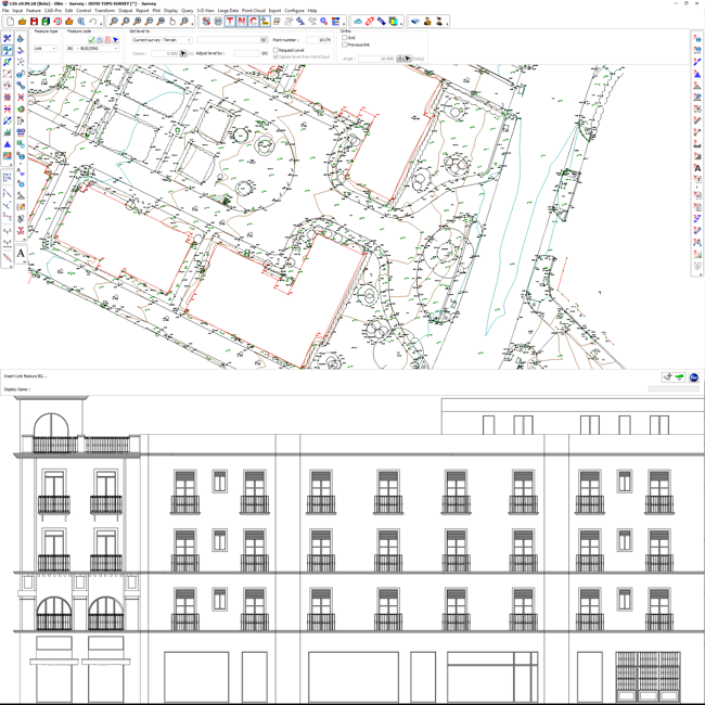
Building elevations and building surveys
All LSS products will produce a DTM with contours, perform traverse adjustment, graphical, powerful survey editing and CAD-Pro commands, plus export to CAD via DXF and LandXML
Knowledgeable and accessible technical support included from time-served land surveyors and LSS software developers. You get to speak to the people who really understand the software and its applications in the real world.